
Jamestown Neighbors in Public Records
No official Jamestown neighbor roster was located. The strongest repeatable starting point is the set of parcels visible around a subject address, followed by the county records attached to each parcel. That method identifies a reproducible block view, not everyone who lives there. It also keeps current parcel geometry separate from civic ward labels, dated directories, and community-program geography. Treat the owner and mailing fields as precisely what they are, rather than relabeling them as an occupant list.
| Source | What it shows about a block | Access |
|---|---|---|
| County GIS Parcel Viewer | Visible parcels, address points, municipal layers, and links from a selected parcel | Public map viewer |
| Parcel History Database | Tax map, owner, address, sales, deed, and ownership-history paths | Public web, informational disclaimer |
| Jamestown assessment roll | Situs, current owner, mailing address, account, class, and deed reference | Dated county PDF |
| Ward and election geography | Civic labels and poll-site context for an area | Official city and county pages |
| City directories | A dated street or household clue, not present occupancy | Prendergast Library collections |
| Neighborhood programs | Project and community context, not membership | Jamestown Renaissance Corporation pages |
Use a parcel identifier, usually the SWIS and tax-map number, as the link between the map, PHD, and assessment roll. The viewer's property detail tools then offer several paths that must remain distinct: tax information, ownership history, and property information details. A PHD hit can be helpful without proving that the owner is one of your neighbors.
Jamestown Neighbors on the GIS Map
The Chautauqua County GIS Parcel Viewer searches by address, tax ID, or owner name. Enter the subject address, inspect close matches, and turn on Parcels or Tax Parcels plus Address Points. Municipal boundaries and imagery can add context. Zoom far enough for parcel lines to render, then use the Tax Parcel Attribute Table at the bottom of the map. It refreshes with the current view, so it describes the visible map area rather than a fixed countywide neighbor list.
Clicking a parcel can reveal the actions View Tax Information, View Ownership History, and View Property Information Details. Those links let the same address lead to public property records without collapsing different evidence types into one label. The reviewed GIS guide documents measurement, drawing, coordinate conversion, and special parcel queries. It does not document a named radius or buffer control for a neighbor search.
Use the Chautauqua County GIS viewer to inspect the visible parcel context.
The map view makes the method auditable: record the map date, visible extent, scale, subject tax map, and each candidate adjoining tax map before opening an owner field.
Map a Jamestown Block Parcel by Parcel
Parcel adjacency is determined by map geometry, not by a postal address string or a community-program label. The immediate block workflow starts at one address and moves only through the visible adjoining parcels. A parcel across a street, behind a property, or at a corner may be relevant to a community discussion, but it is not automatically a parcel sharing a boundary. Store the type of relationship instead of calling every nearby property an adjacent parcel.
- Locate the Jamestown subject address in the GIS and record its SWIS and tax-map number.
- Keep the parcel and address-point layers on, zoom to the block, and list only the parcels visible in the refreshed Attribute Table.
- Open each selected parcel's tax, ownership-history, and property-detail links. Record the exact label and checked date for each field.
- Use PHD's address, owner, tax-map, deed, and old or new number modes to resolve a changed identifier or a narrow match.
- Compare a dated assessment roll or County Clerk land record only for the question it answers. Mark a mailing address as a mailing field.
This is an address-centered block method. For a longer street-wide records chain, the Jamestown By Street directory uses the separate street and deed workflow.
Note: Capture the current GIS extent before reviewing a block so later readers can tell which parcels were actually visible.
Jamestown Owners Are Not Neighbors
A parcel record can name an individual, a business, a trust, an estate, or a mailing recipient. Its owner field reports a tax relationship. Its mailing address can be far from the property. The Jamestown 2025 assessment-roll sample is unusually clear on this point: a row for 236 Fluvanna Avenue shows a Jamestown property location and a Phoenix mailing address. That record is useful for explaining why a block list cannot simply rename owners as residents.
Assessment rolls also publish property location and class, current owner, school district, assessment values, account number, parcel grid, and a deed-book reference. Use the tax map, account number, or deed-book reference as a join. Do not infer a household from a tax class, a mailing city, a directory line, a court party, or a voter-search input. No public utility-customer list or DMV street roster was located in the reviewed sources.
| Record label | Careful interpretation |
|---|---|
| Property location or situs | The physical parcel field, not a statement about every person there. |
| Current owner | The owner named in the dated tax record, which may be an entity or a nonresident. |
| Owner mailing address | A tax correspondence field that may differ from the Jamestown property. |
| Deed-book reference | A lead for title research through the County Clerk, not a household record. |
Jamestown Neighbors and Ward Labels
The official Jamestown ward map names six municipal areas: College I, Lakeview II, Chadakoin III, Bergman Park IV, Forest V, and Willard Heights VI. A ward is civic geography. It is not a property boundary, a public resident list, or an assurance that every nearby postal address is within city limits. Record the ward source year when it accompanies a parcel note.
Election districts and polling places are another layer. The County Board of Elections list groups Jamestown election districts at locations such as IBEW, Realife, Christ First United Methodist Church, DoubleTree, Hillcrest, Kidder Memorial Building, and Camp Street United Methodist Church. Polling assignments can change by election. The county's material also includes nearby-town addresses using Jamestown postal formatting, a useful reminder that a postal city name does not decide municipal jurisdiction.
The official six-ward map provides the current civic labels.
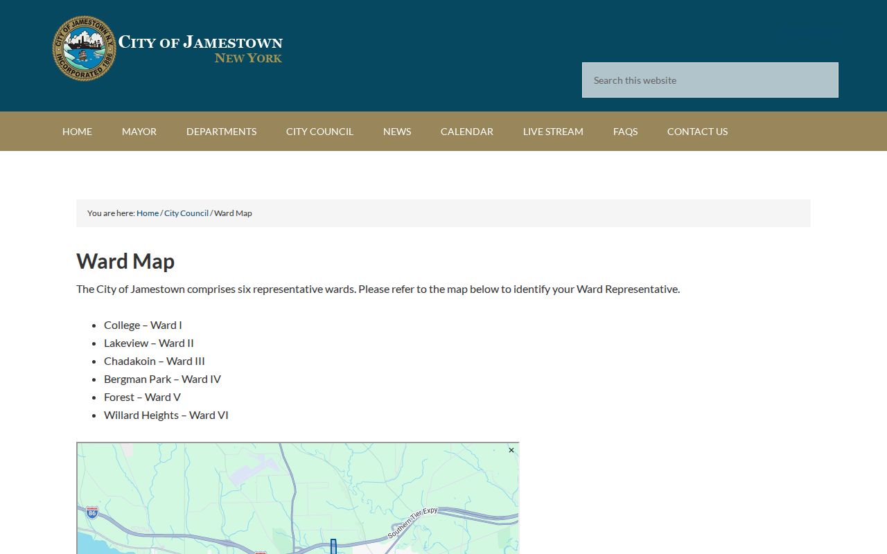
Use this layer to describe local civic context. Use parcel boundaries and SWIS data to determine whether a specific property is in the City of Jamestown.
Community Context for Jamestown Neighbors
Jamestown Renaissance Corporation documents neighborhood projects, small grants, exterior improvements, vacant-land work, and code or public-property management with community partners. Its Renaissance Block Challenge describes clusters with at least six properties. The program may regard properties across a street or behind one another as part of a social cluster. That is valuable neighborhood context, but it is not a legal test of parcel adjacency and it is not an association membership roster.
| Verified civic source | What it provides | Contact or access |
|---|---|---|
| Jamestown ward map | Six current city ward labels | City ward-map page |
| JRC Neighborhood Projects | Neighborhood-project and partnership context | c/o Mayor, 200 E Third Street, fourth floor, 716-483-7600 |
| JRC Downtown Urban Core | Downtown community-project contact | c/o Gebbie Foundation, 215 Cherry Street, 716-487-1062 |
| Renaissance Block Challenge | Target-area and cluster-program information | Program page |
No official city-maintained directory of independent neighborhood associations, membership lists, or current association status was located. Do not substitute ward names, JRC project clusters, or a social group for a legal neighborhood boundary or a list of who lives there.
Read the Jamestown Renaissance neighborhood material as community-project context.
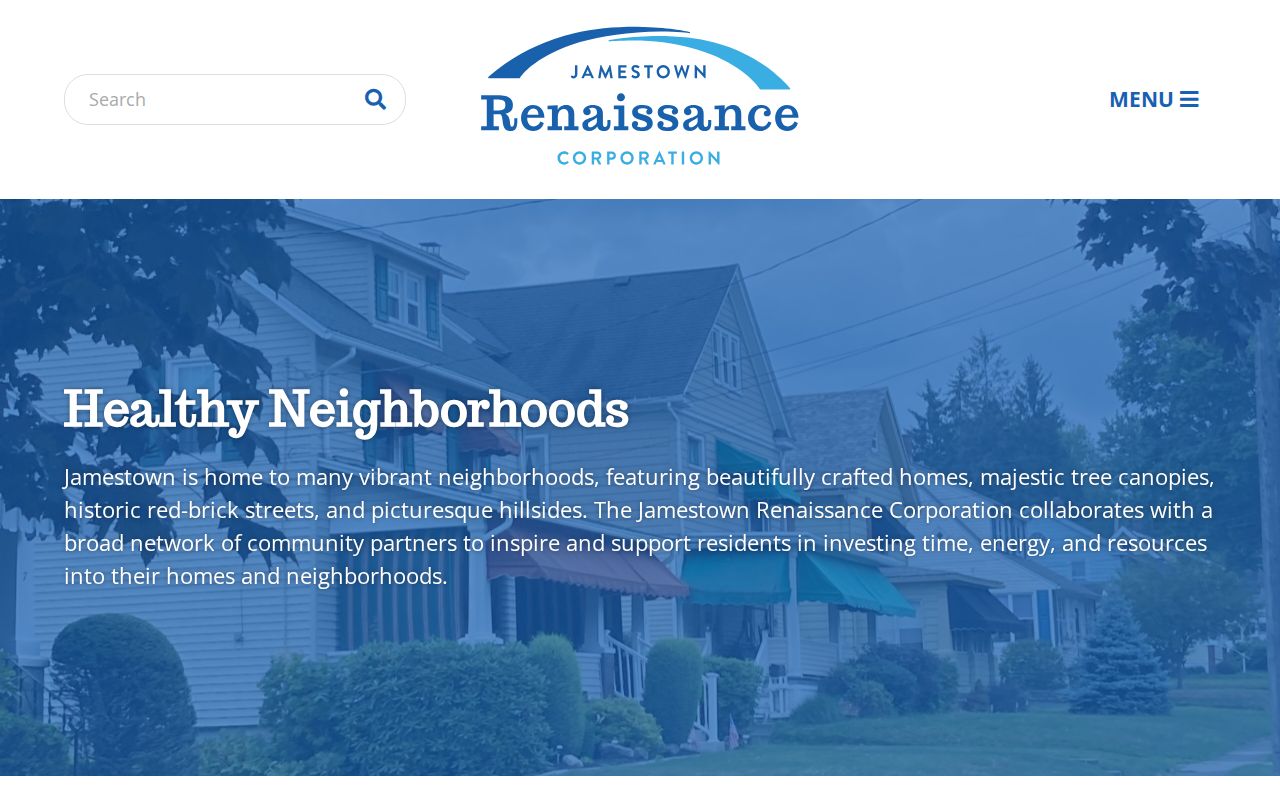
The partnership material gives a useful local frame for a block, but it should remain separate from the evidence used to identify parcel relationships.
Historic Areas Near Jamestown Neighbors
Historic districts are another way to understand a block without making assumptions about its households. The Jamestown historic-district material describes Lakeview as the first nominated residential neighborhood, with boundaries encompassing about 200 property owners and streets including Spruce, Strong, Van Buren, Wilson Place, and Winsor. Forest Heights has more than 140 properties and mixed architectural styles. Those figures describe district context, not a current count of residents.
When a parcel falls near an historic district, record the district source alongside the current parcel source. It can explain a neighborhood's historic geography, but it does not replace a GIS boundary, assessment roll, or deed legal description. The only verified Jamestown Sanborn item in the research is the March 1886, 15-sheet set, so later map dates should not be assumed.
See the historic-district overview for the documented Lakeview and Forest Heights context.
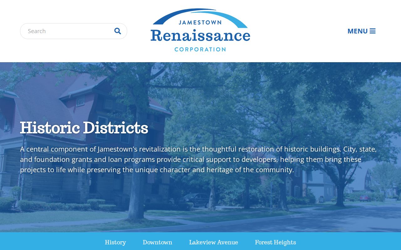
Historic geography helps describe a place over time. The current parcel map remains the appropriate source for the visible block at the date checked.
Jamestown Neighbor Sources Compared
Official and commercial neighbor-search categories answer different questions. A county map or assessment roll exposes defined government record fields and a route back to the custodian. A commercial category may combine public and other data, but its coverage, source date, identity matching, and correction process can be unclear. Neither category is a substitute for respectful contact or for a current occupancy determination.
| Source category | Strength | Limit to preserve |
|---|---|---|
| Official parcel and assessment records | Tax-map joins, dated fields, and a known custodian | Owner and mailing data do not prove who occupies a property. |
| Official civic maps and project pages | Ward, district, historic, or program context | They are not household or membership rosters. |
| Commercial neighbor-search category | May offer a broad starting point | Accuracy, identity match, currency, and lawful use need independent checking. |
For an official record that is not online, ask the custodian. New York FOIL uses a reasonably described request to the responsible records-access officer. The request should name the record type, address or parcel identifier, and date range. It should not seek a broad compilation of personal information about a block.
Privacy Limits for Jamestown Neighbors
New York's confidentiality rules can make a person absent from a public result, and that absence is not a lead to work around. The Address Confidentiality Program provides a substitute mailing address for eligible participants while protecting the actual address. Confidential voter registration under Election Law section 5-508 is separately maintained and not open to ordinary public inspection. Court records may be sealed or restricted. The reviewed sources did not locate public utility-customer data or a DMV street roster.
Do not publish full dates of birth, phone numbers, identification numbers, confidential addresses, medical details, or protected voter information. Respect a source's display limits and record its date. When an official field is wrong, contact the office that holds it for a correction route. The City Clerk is Jamestown's municipal records-access contact under City Code section 220, while county land records follow the County Clerk's process.
Lawful use. Use Jamestown neighbor records for personal, lawful research and community context. Never use a parcel, map, or directory result to stalk, harass, or intimidate anyone.